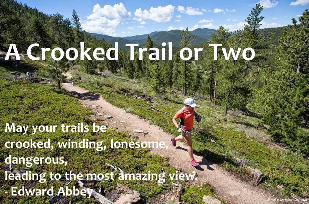
Running Steamy Shenandoah
As every scout knows, it's always a good idea to "Be Prepared." This former girl scout prepares for each business trip by bringing along her hydration pack, just in case a last-minute cancellation or schedule change permits a longer run than her typical treadmill workouts in the hotel gym.
Usually, that pack comes home clean, dry and unused... but today, that preparation paid off in spades, as a last-minute cancellation allowed me to get in a long run at none other than Shenandoah National Park, a gorgeous strip of protected land between Washington, DC and Charlottesville, VA.
This was my first visit to Shenandoah, so I was unsure of the best place to run, but since my favorite trails tend to involve lots of climbing, I sought out a summit. One of Shenandoah's most classic hikes is up Old Rag (3,268'), so I built a loop run out of climbing Old Rag and nearby Robertson Mountain (3,296').
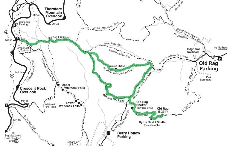
Map courtesy of Shenandoah National Park, with my route highlighted in green.
Though these elevations are low compared to most of my usual routes in Colorado -- after all, my home in Fort Collins, at about 5,100', sits higher than these peaks -- the heat and humidity, plus a few steep sections, made today's run plenty challenging.
The weather today probably seemed mild for the locals, but this Colorado girl is unaccustomed to such humidity: as soon as I hit the trail, the moist air gave my skin a slippery sheen, and though the temperature was in the low 80s when I started, by the end it was close to 90. It definitely felt uncomfortable: a great, unplanned heat-training session!
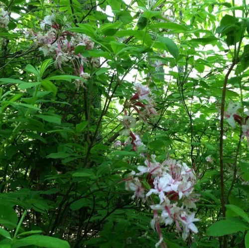
I started the run at a parking lot along Skyline Drive, the main road that runs north-south through the park, descending from Skyline along the Old Rag Fire Road. A lot of the trail looked like this: forested and shady, with little creeks meandering along - and sometimes across - the road. Lots of flowers were in bloom, and I surprised a few deer along the trail too. The forest was a very, very loud place: birds chirped and called to each other, and the steady hum of a variety of insects filled the air.
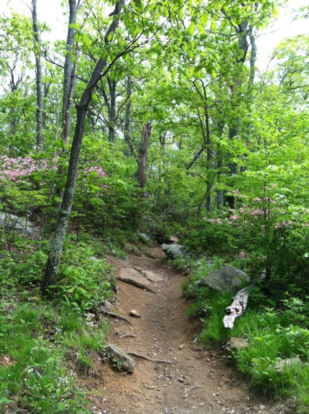
As I left the Old Rag Fire Road to climb to Old Rag's summit, the trail narrowed and started to climb more steeply. It also got quite a bit rockier.
A view west on the trail, just before Byrd's Nest.
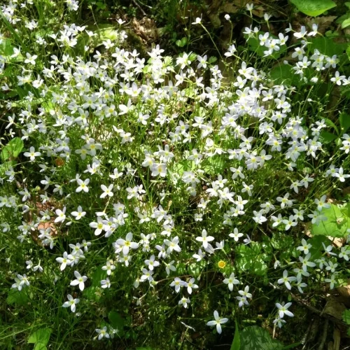
Blossoming plants along the trail between Byrd's Nest and Old Rag's summit.
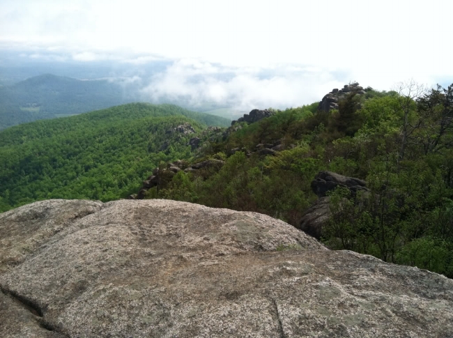
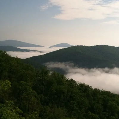
View east from Old Rag's summit, above the clouds.
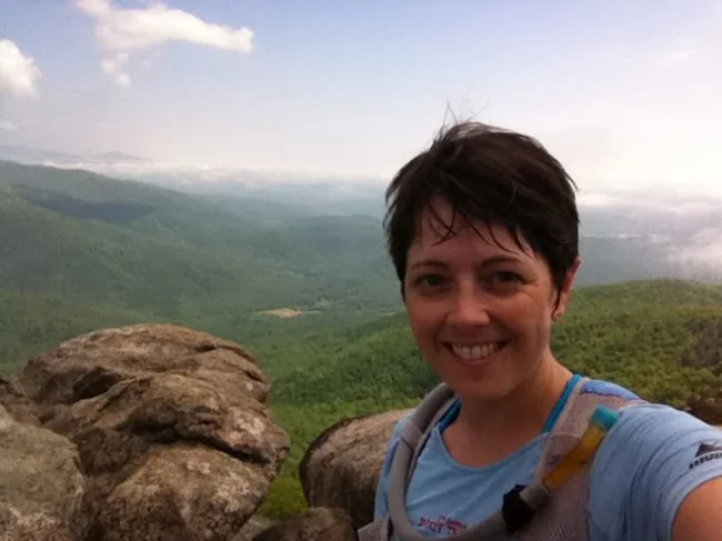
Completely soaked with sweat on Old Rag's summit.
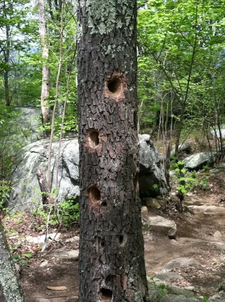
Woodpeckers have been busy along the Old Rag summit trail.

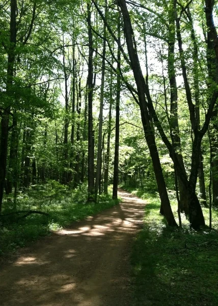
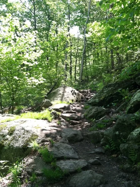
Shady, rocky forest typical of the Old Rag and Robertson Mountain trails.
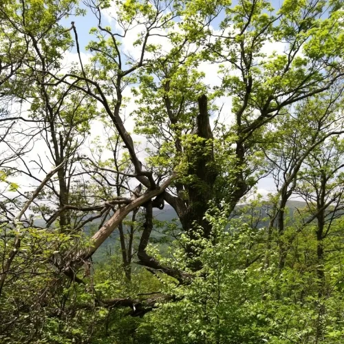
A breeze picked up as I descended Old Rag, and the forest stayed pretty cool as I turned onto the Weakley Hollow Fire Road. But almost as soon as I started to climb the Robertson Mountain Trail, the breeze stopped and the heat started to climb. Also, the ice that I'd loaded into my pack at the hotel had all melted by this point, so as I was getting hot on the trail, I was also drinking warm water, which didn't help much. I took this one photo of an oddly-shaped tree on the Robertson Mountain Trail, but this was my last photo, since I was feeling kind of lousy at that point.
Finally, I summited Robertson Mountain, and started the descent. I started to feel better almost immediately; even though it was still hot and humid, descending takes a lot less effort than climbing. Before long, I was back on the Old Rag Fire Road, headed for the parking lot. I ran out of water at about the 4 hour mark, probably because of the heat and humidity. Fortunately, at that point I only had about 2 miles of easy, shady fire road to run, so I was fine.
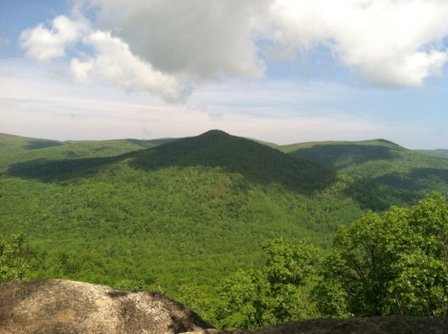
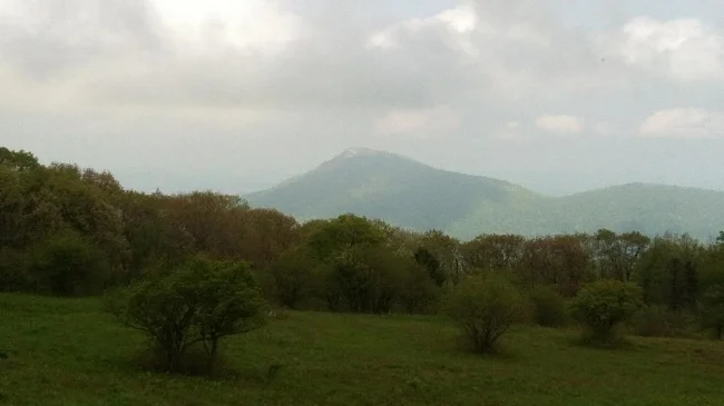
After returning to the car, changing into dry clothes and downing some cool fluids, I returned to Skyline Drive and headed back toward Charlottesville. Before leaving the park, though, I pulled off at the "Old Rag Lookout," which offered an unobstructed view back toward the peak I'd so recently stood upon.
I wholeheartedly recommend Shenandoah National Park as a great place to run. The trails I encountered today were scenic, well-marked, and mostly shady. I will definitely try to return and explore more trails in this national treasure!
With all best wishes from steamy Shenandoah National Park, see you on the trail!