Pikes Peak via the Crags and Devil's Playground
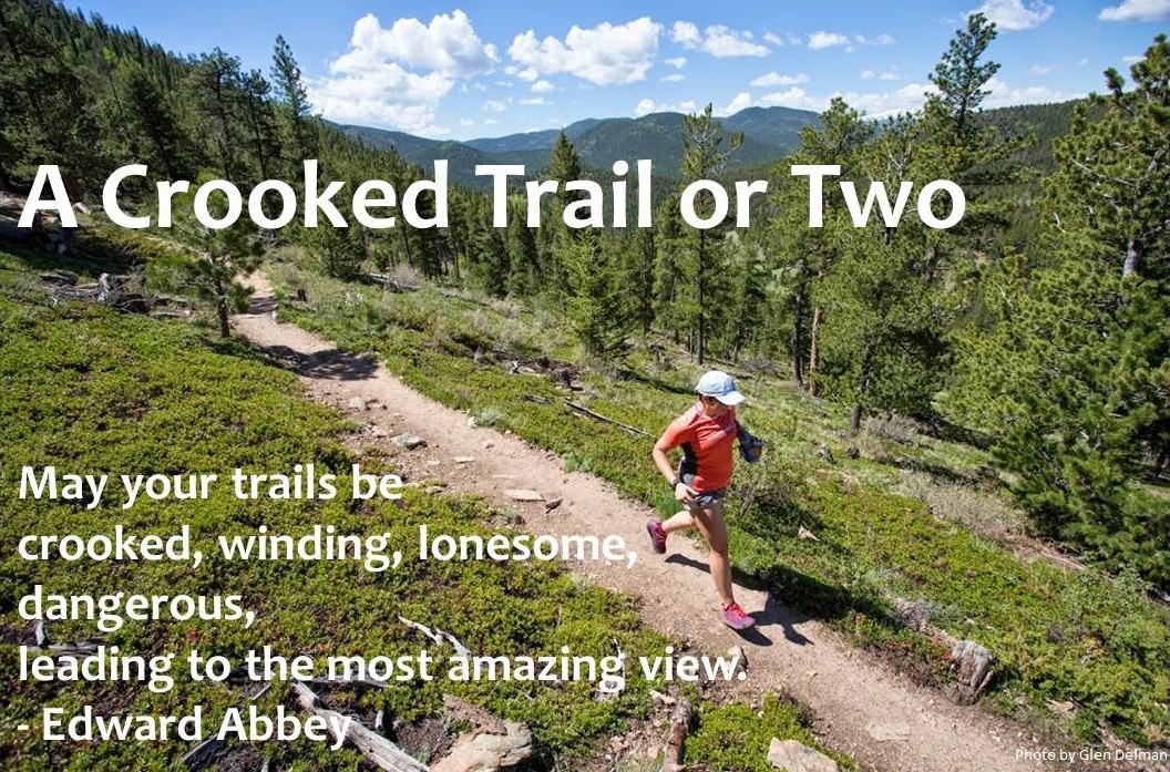
Pikes Peak as seen from Garden of the Gods. Photo: Wikimedia.
Few things in life feel as good as standing atop a tall mountain, overlooking the world below, and knowing you reached that exalted place under your own power. I recently had that experience when my cousins Beth and Bo, who live in Maryland, visited me and their brother Frank in Colorado, and we decided it would be great to climb Pikes Peak together.
Given the number and variety of family events going on during their stay (a wedding, two musical gigs, and relocating the last equine member of their family from Maryland to Wyoming) we chose a shorter, steeper route up Pikes Peak rather than the more commonly-used Barr Trail. We took the trail that begins at the Crags Campground.
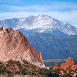
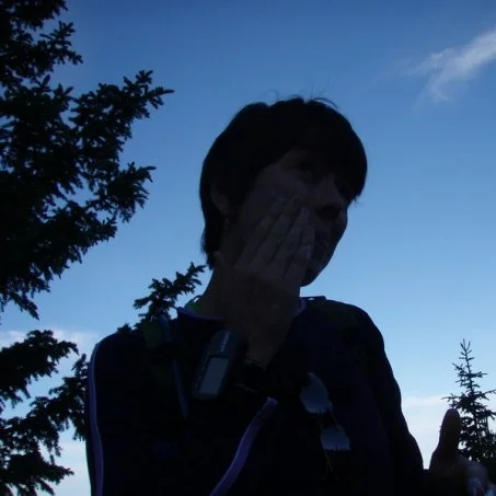
At 5:57 a.m. the intrepid adventurers hit the trail (Beth, Frank, Ashley, & Bo, clockwise starting from the left).
The trail was definitely steep, but the scenery kept us going, and the variety of terrain -- from cool, damp montane forest to rocky subalpine meadows to cold, windy alpine boulder fields -- delighted and fascinated us all the way. The final 45 minutes of the hike were brutal -- a nonstop scramble up the largest pile of boulders any of us had ever seen -- but our eventual summit felt even better because of the struggle. It was one of the best days ever. My cousin Bo took all the photos that follow.
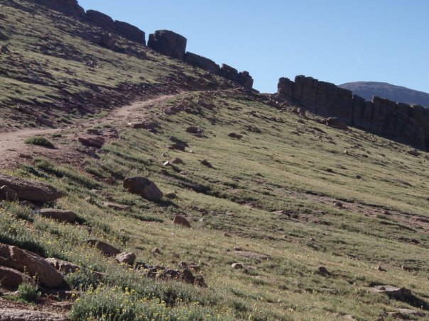
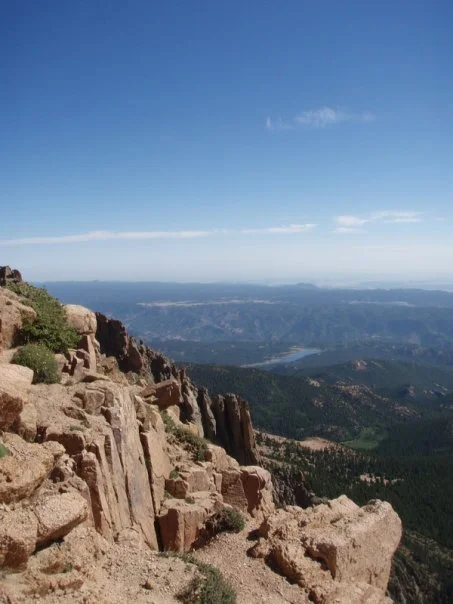
Less than a mile in, we pass the rocky crags that give the Crags Campground and Trailhead its name:
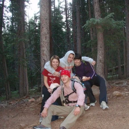
Less than a mile in, we pass the rocky crags that give the Crags Campground and Trailhead their names.
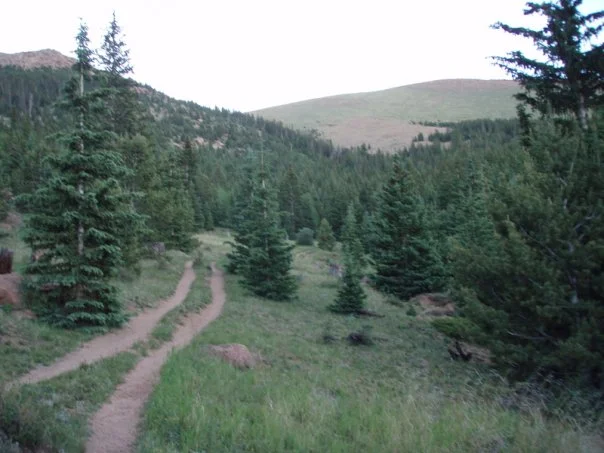
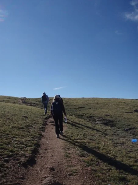
A well-trod path leads the way, as the sun starts to rise.
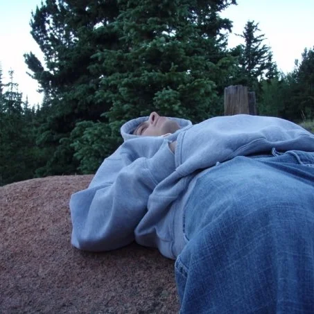
Frank doesn't usually rise this early. Fortunately, a kindly rock provided some comfort (and a bit of rest) on the way up. Frank (whose ease in climbing the mountain impressed us all) would later reveal to us, "The only time I doubted I'd make it to the top was when the alarm went off at 4:30."
The sun will soon be rising! Time for sunscreen...
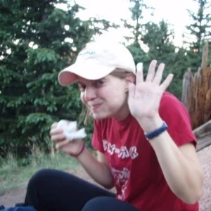
...and some quality carbs!
The Crags looked massive from below, but now shrink and disappear below as the sun rises and our view expands on this steeply-climbing trail.

The climbing continues, though we're still below timberline.
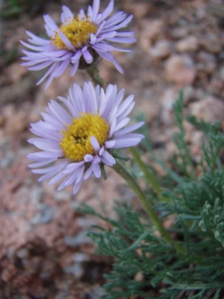
Our hike was timed perfectly...
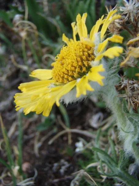
...to see lots of flowers!
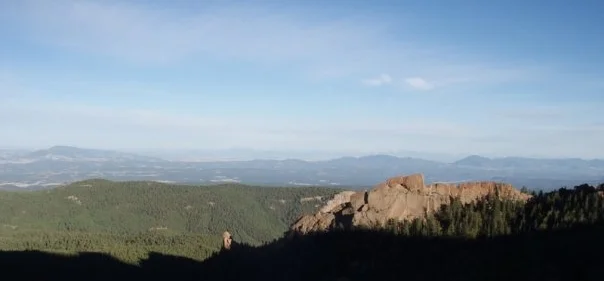
Nearing timberline (close to 12,000 feet) we see more and more big red-rock outcroppings like these.
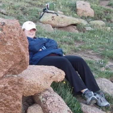
Beth takes a quick rest.

Ashley and Bo.
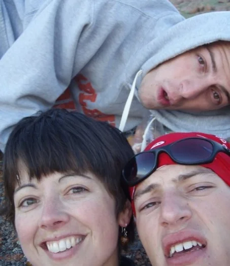
Ah, the joys of bringing family and mountains together!
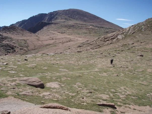
Continuing up, up, up above timberline, we are nearing the crest of the first big climb of the hike.
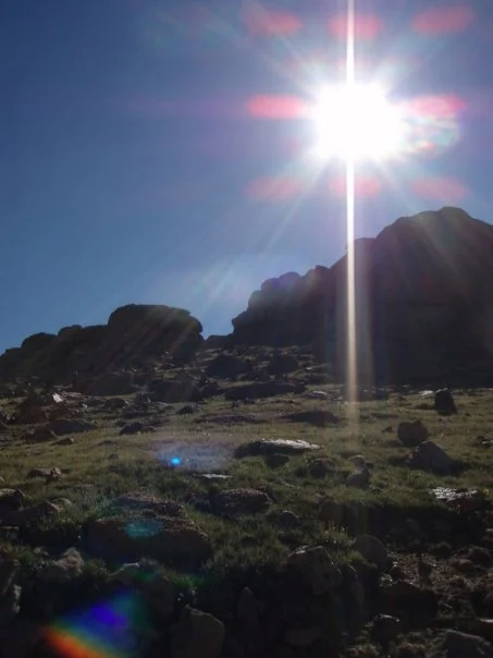
As we cross over the first big crest, so does the sun.
After cresting the first big ascent, the trail levels out a bit. We also spot our first glacier! Ahead, a red-rock spine becomes our next "rest stop" goal destination.
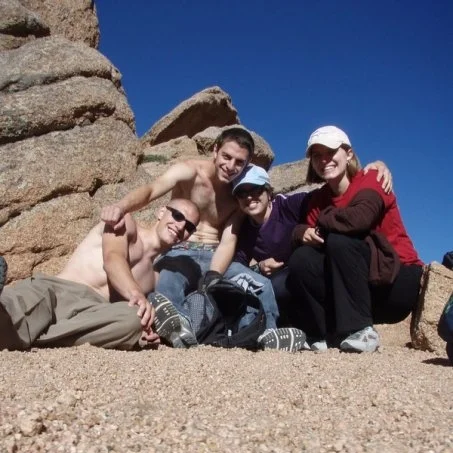
At the large rock formation, we pause for more carbs and another group photo. God bless trail mix!
This part of the hike (just before Devil's Playground) features lots of amazing rock formations like this one.
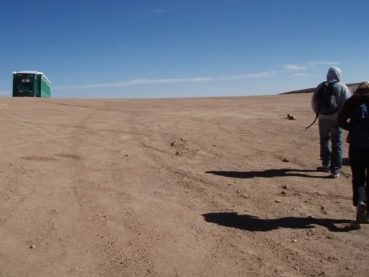
Nearing the road, and the crest of another hill, we spot. . . a row of porta-potties?! For the rest of the hike, our trail rarely lost sight of the Pikes Peak Highway. A bit odd, to find a toll road amid such wilderness, but the road didn't distract from the excellent views.
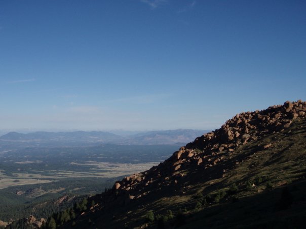
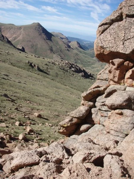
An amazing view, about 1.5 miles from the Devil's Playground sign.
Much of the rest of the ascent takes you through rocky tundra like this spot. Follow the cairns!
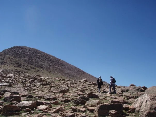
The "hill" in the left part of this shot is the summit of Pikes Peak. Believe me, that pile of rocks is a whooooole lot bigger than it looks.
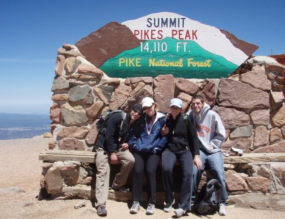
We did it! Hooray!
(Okay, kids -- which Colorado fourteener shall we summit next?)
See you on the trail!